
Systems & Tools
ARL has extensive experience in the design, implementation and installation of built-to-order and custom standalone systems for a wide range of uses, be it for assisting the resource consent process, visualizing urban developments or end-user technical training in a simulated environment.
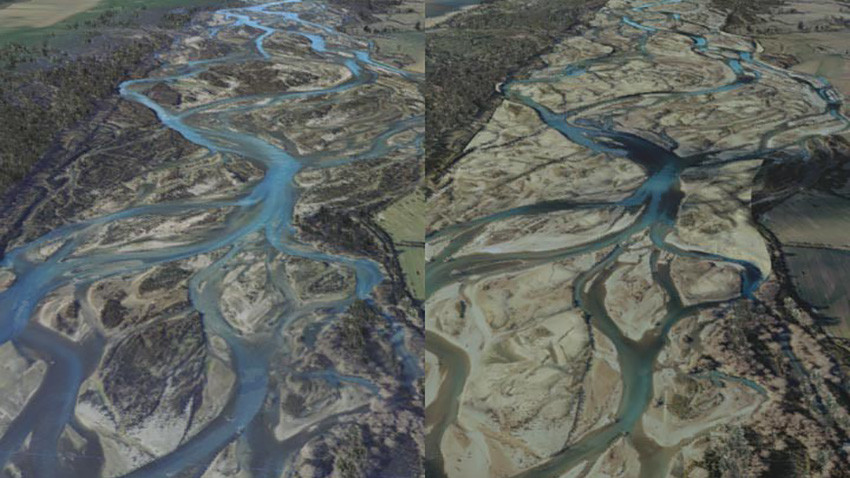
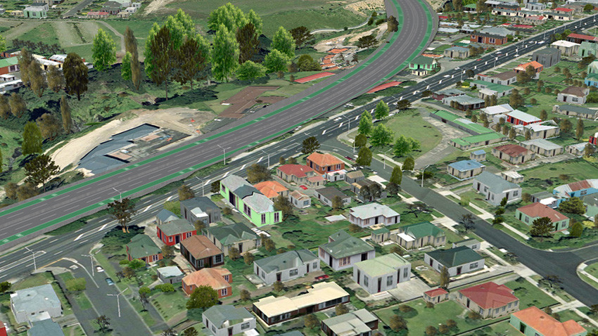
We built the 'SH20 3D Visualisation' software tool to assist in resource consent planning of State Highway 20 in Auckland, and provided the visualization of comprehensive layers of GIS data in 3D and in real time with the 'Project Aqua' software tool. Project Aqua was a proposed 60km Hydro Electricity Generation Scheme, and the software was able to display information that ranged from locations of sites of historical interest to soil types, crops, weather data, sound contours, dust levels, borrow and fill areas, cadastral survey data, property boundaries, water levels and more.
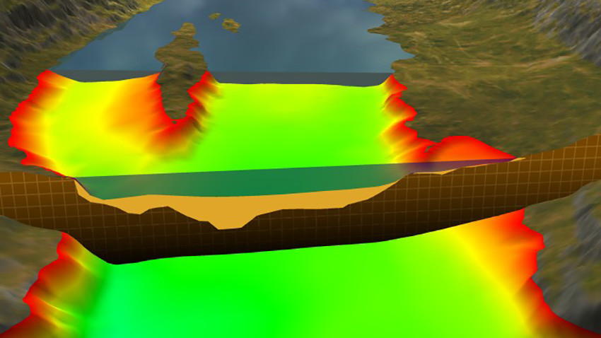 Project Aqua 2003
 Project Aqua 2003
As a technical partner on the 'SimDrive Simulator' project, we created photo-real virtual streets that included everything from rubbish bins, to trees and parked cars. We also built the 'Total Control' Air Traffic Control Simulator for Airways New Zealand. Designed from the ground up by our software developers and engineers, and using our proprietary real-time graphics engine, 'Total Control' comes complete with multiple towers, aircraft, cloud types, weather, and 'full world' airspace allowing simultaneous use across multiple suites.
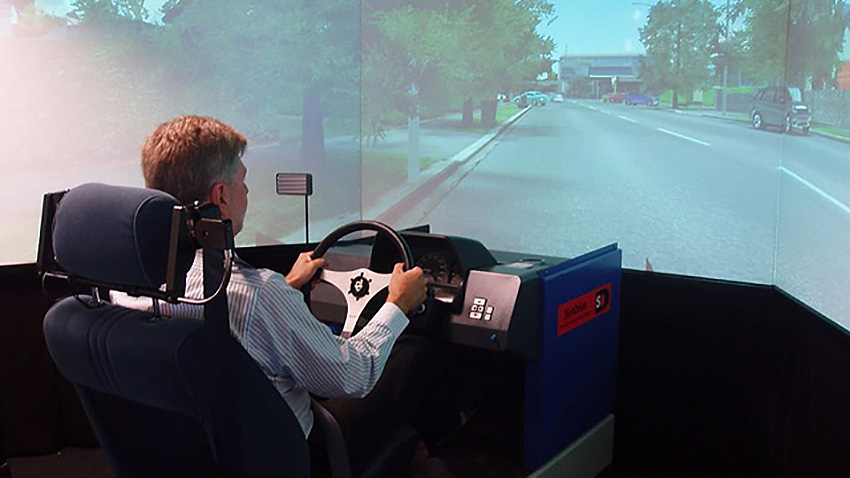 SimDrive Simulator 2008
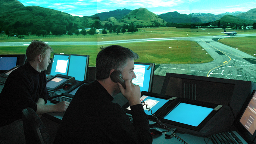 Total Control Simulator 2006
As part of the Canterbury Spatial Data Infrastructure Programme, ARL provided Land Information New Zealand (LINZ) with the '3D Enabled Cities' standalone and online tools, which use geospatial information systems, computer aided design, 3D modeling, visualization and simulation technologies to illustrate the past, present and future of the built environment in greater Christchurch.
Above: An in-browser test of the 3D Enabled Cities Webviewer, during it's development (2015)
ARL can deliver a complete package that includes digital terrain modeling, data management and visualization (utilizing photogrammetry and/or lidar data), which can feature pre-rendered animations and/or real-time rendering. Our solutions have included augmented reality, web application development and mobile application development.


